


山顶点提取
通过实验掌握邻域分析的基础理论,熟练在软件中的实践方法;掌握重分类的意义和方法。
我的答案
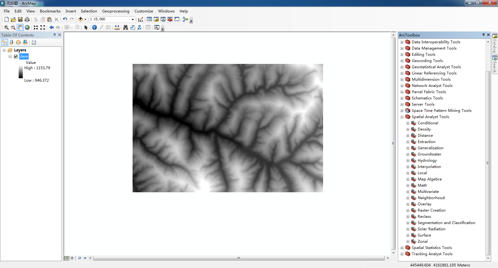
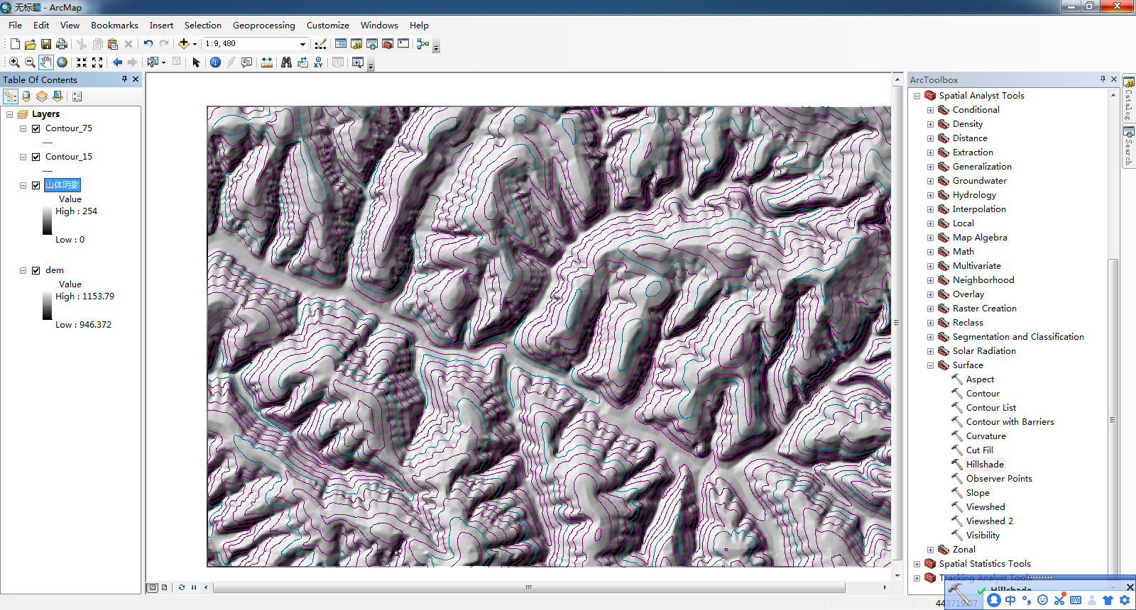
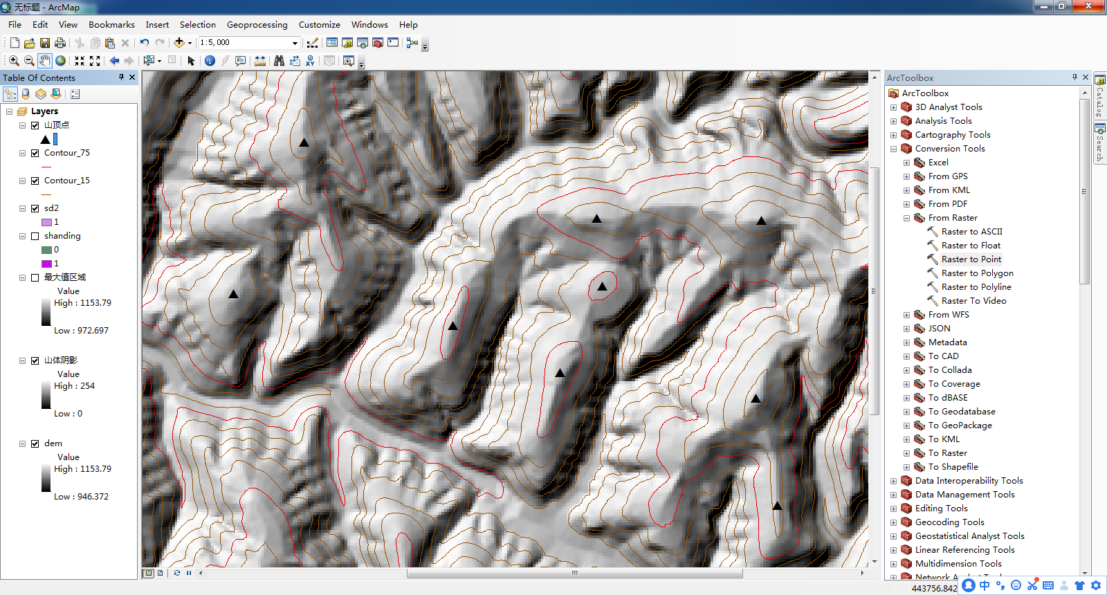
将实验文件的文件导入arcgis10.8中
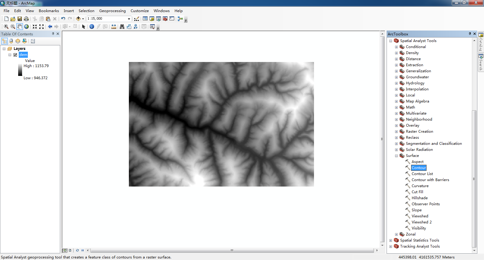
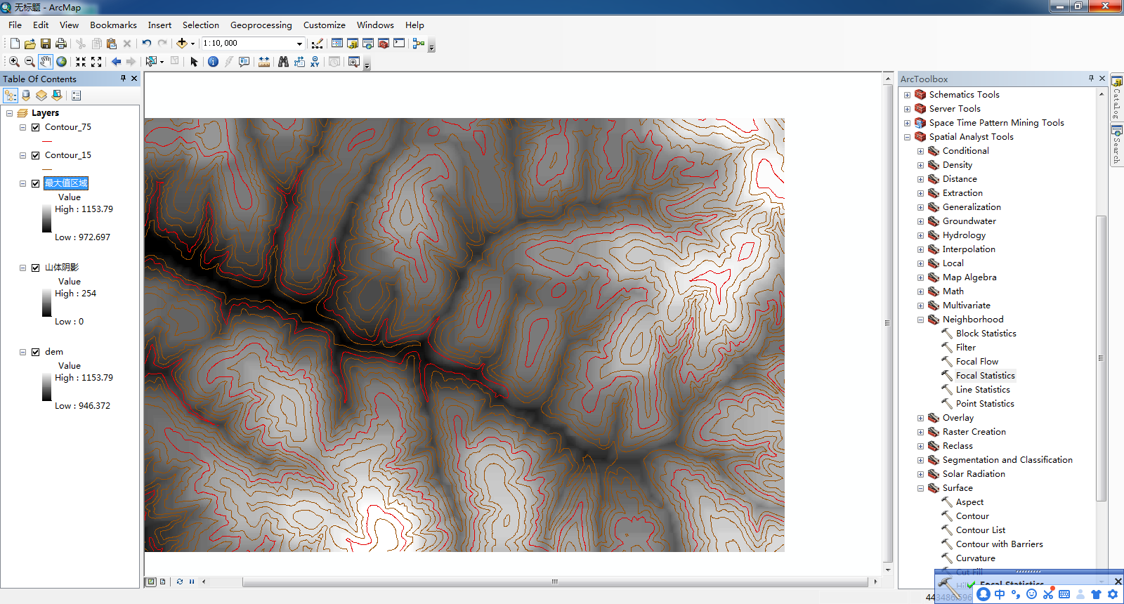
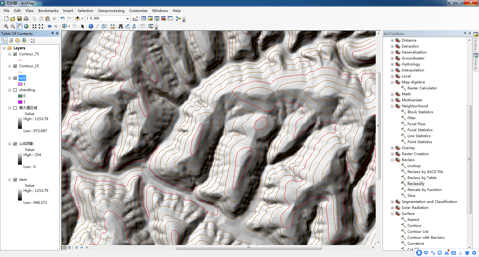
使用Arc Toolbox中的“ Contour ”工具
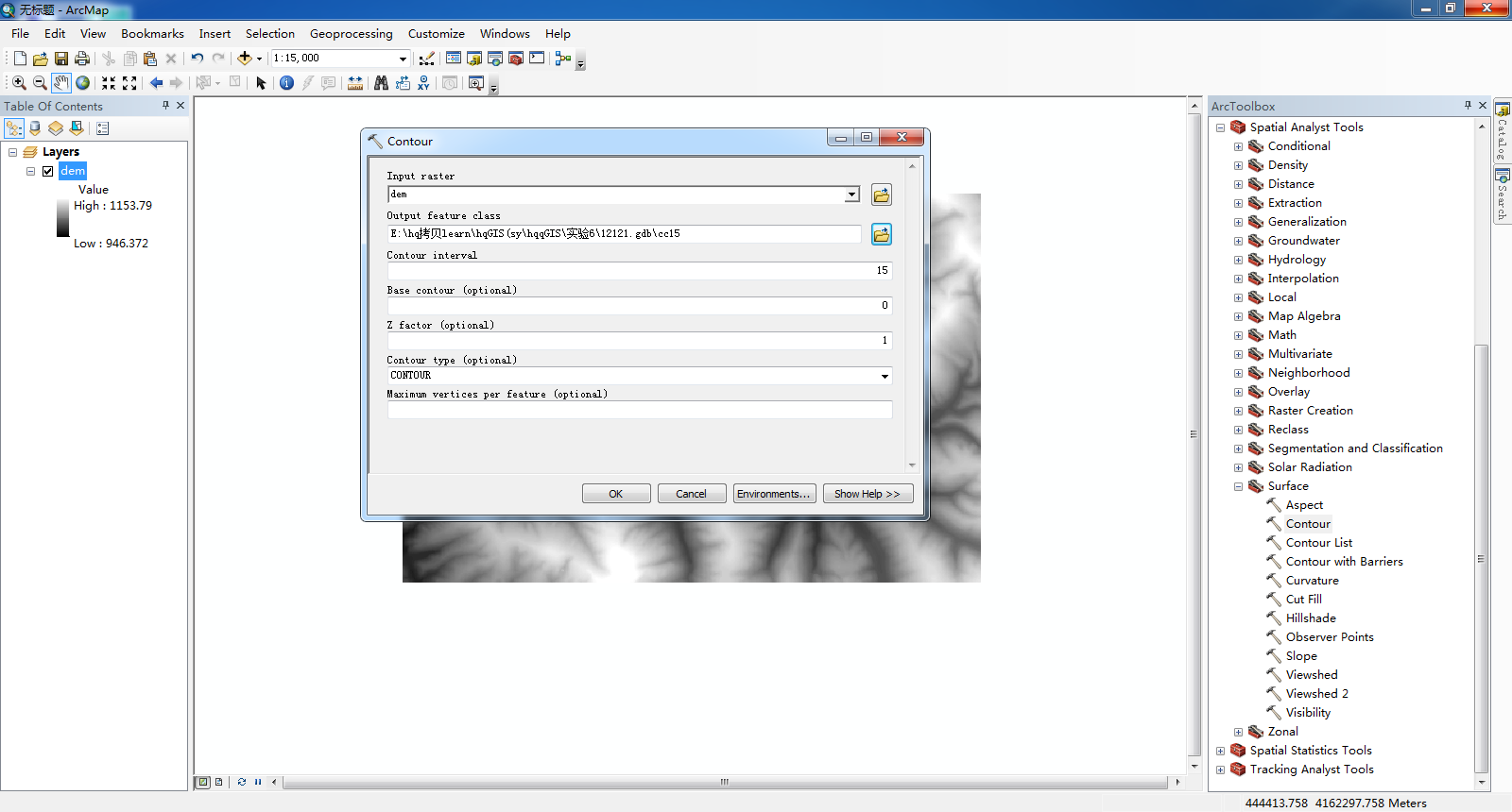
(Input中导入“ dem ”-》选择自己的文件夹并命名为“ Contour_15 ”-》将Contour interval改为15>>>点击OK-》完成“ Contour_15 ”)
使用Arc Toolbox中的“ Contour ”工具
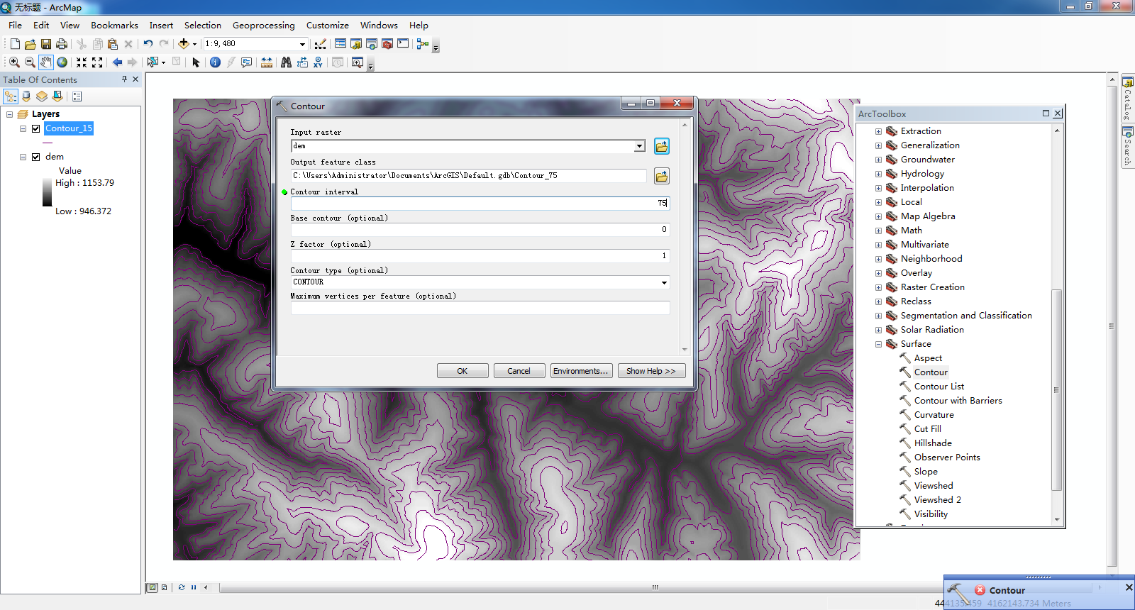
(Input中导入“ dem ”-》选择自己的文件夹并命名为“ Contour_75 ”-》将Contour interval改为75>>>点击OK-》完成“ Contour_75 ”)
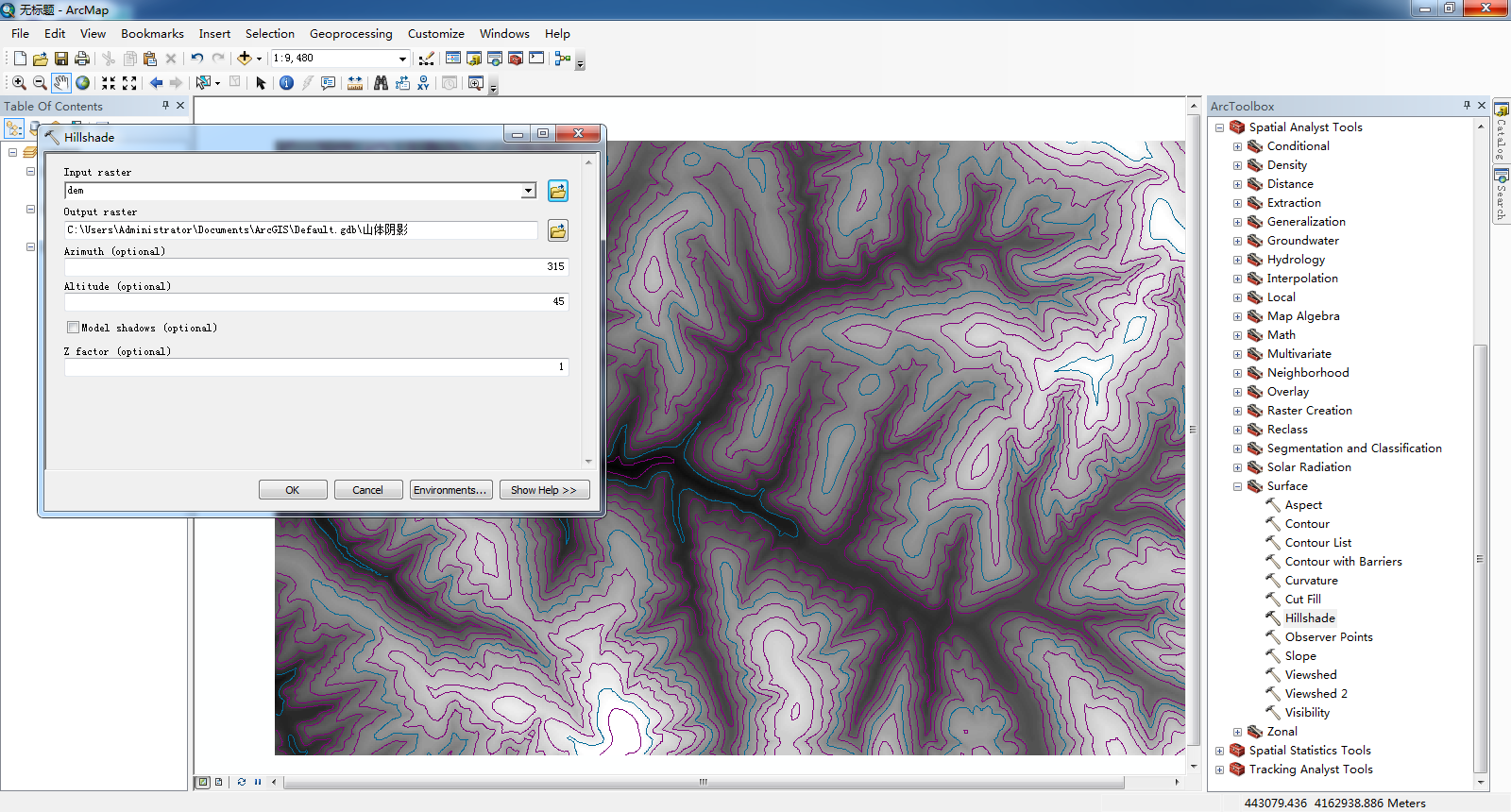
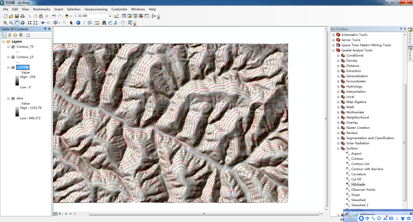
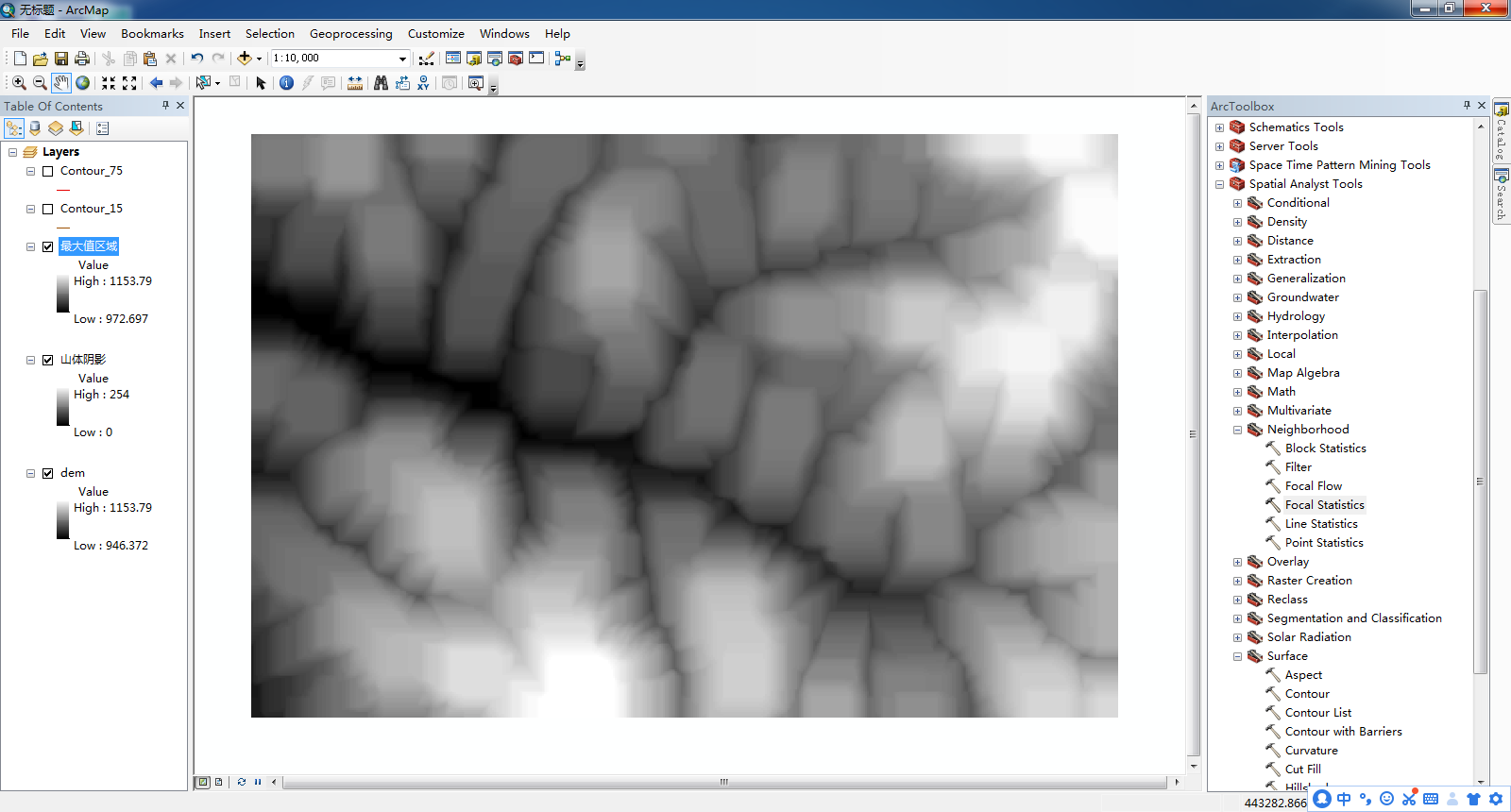
使用Arc Toolbox中的“ Hillshade ”工具
(>Input raster中导入“ dem ”>>Output raster中选择自己的文件夹导出并命名为“山体阴影”>>点击OK>>>完成“山体阴影”的提取>

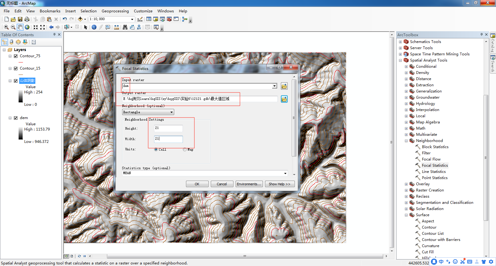
使用Arc Toolbox中的“ Focal Statistics ”工具
(>Input raster中导入“ dem ”>>Output raster中选择自己的文件夹导出并命名为“最大值区域”>>>“Neighorhood Settings”下方都改为21>>>>将“Statistics type”改为“MAXIMUM”>>>>>点击OK>>>完成“最大值区域”的提取>>
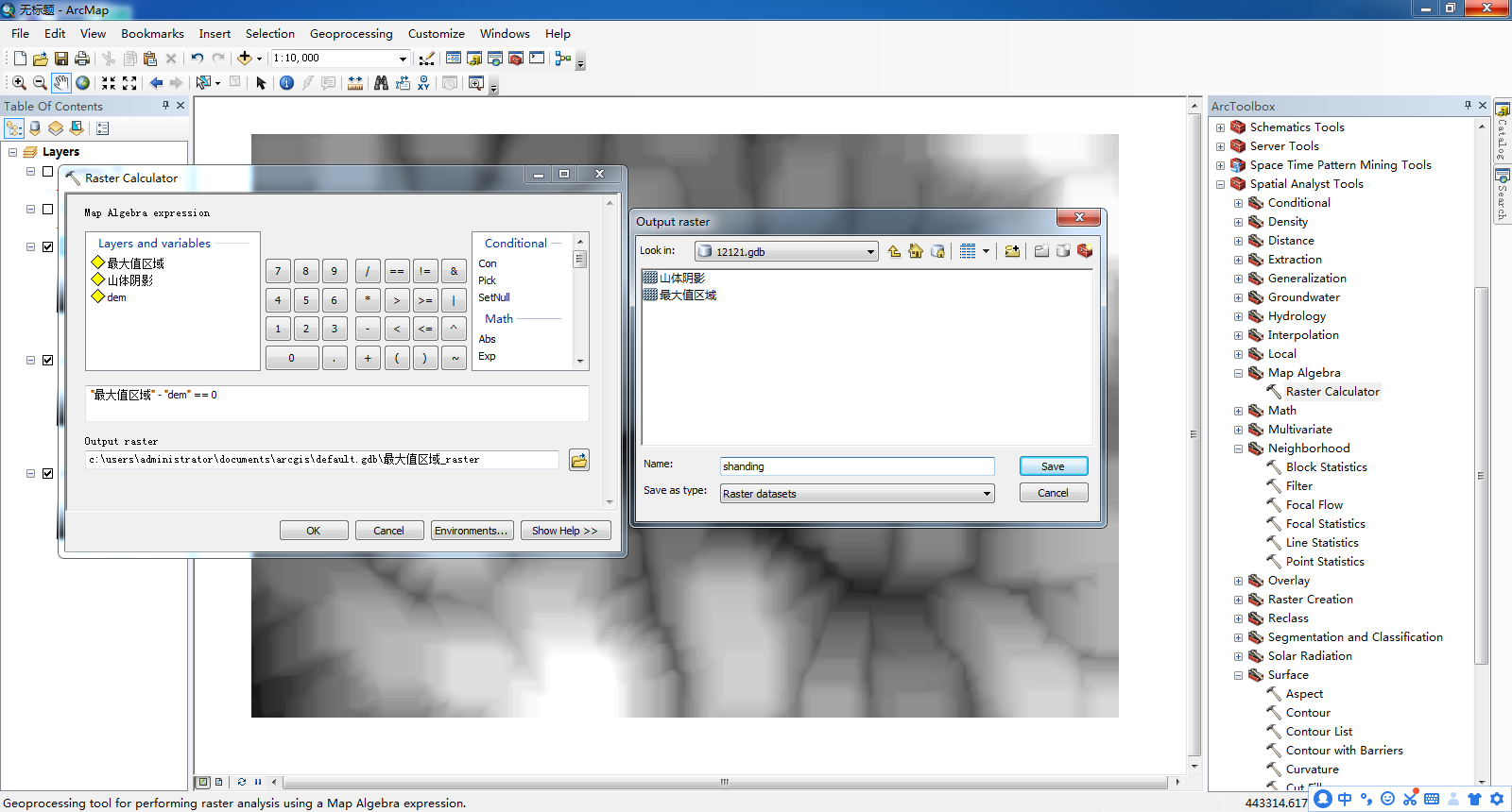
使用Arc Toolbox中的“ Raster Calculator ”工具
(>在输入框中输入:“最大值区域”-“dam”==0>>>>>Output raster中选择自己的文件夹导出并命名为“sd1”>>>点击“OK”>>

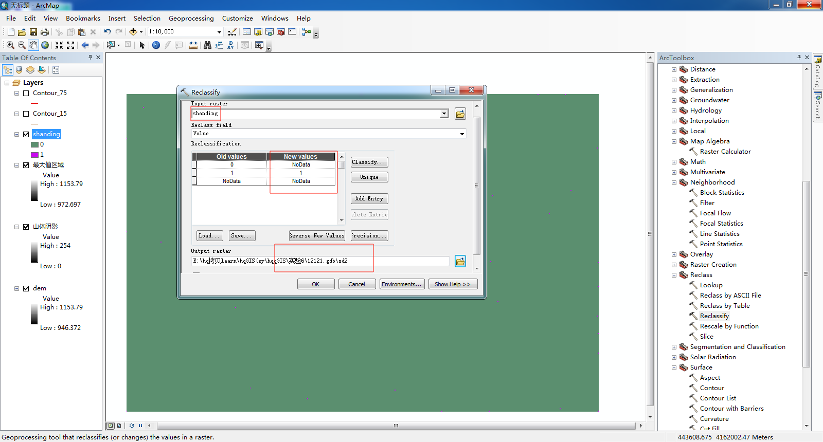
使用Arc Toolbox中的“ Reclassify ”工具
(>>Input raster中导入“ dem ”>>>将“New values”中的1改为“NoDate”将2改为1>>>Output raster中选择自己的文件夹导出并命名为“sd2”>>>点击“OK”>>>>

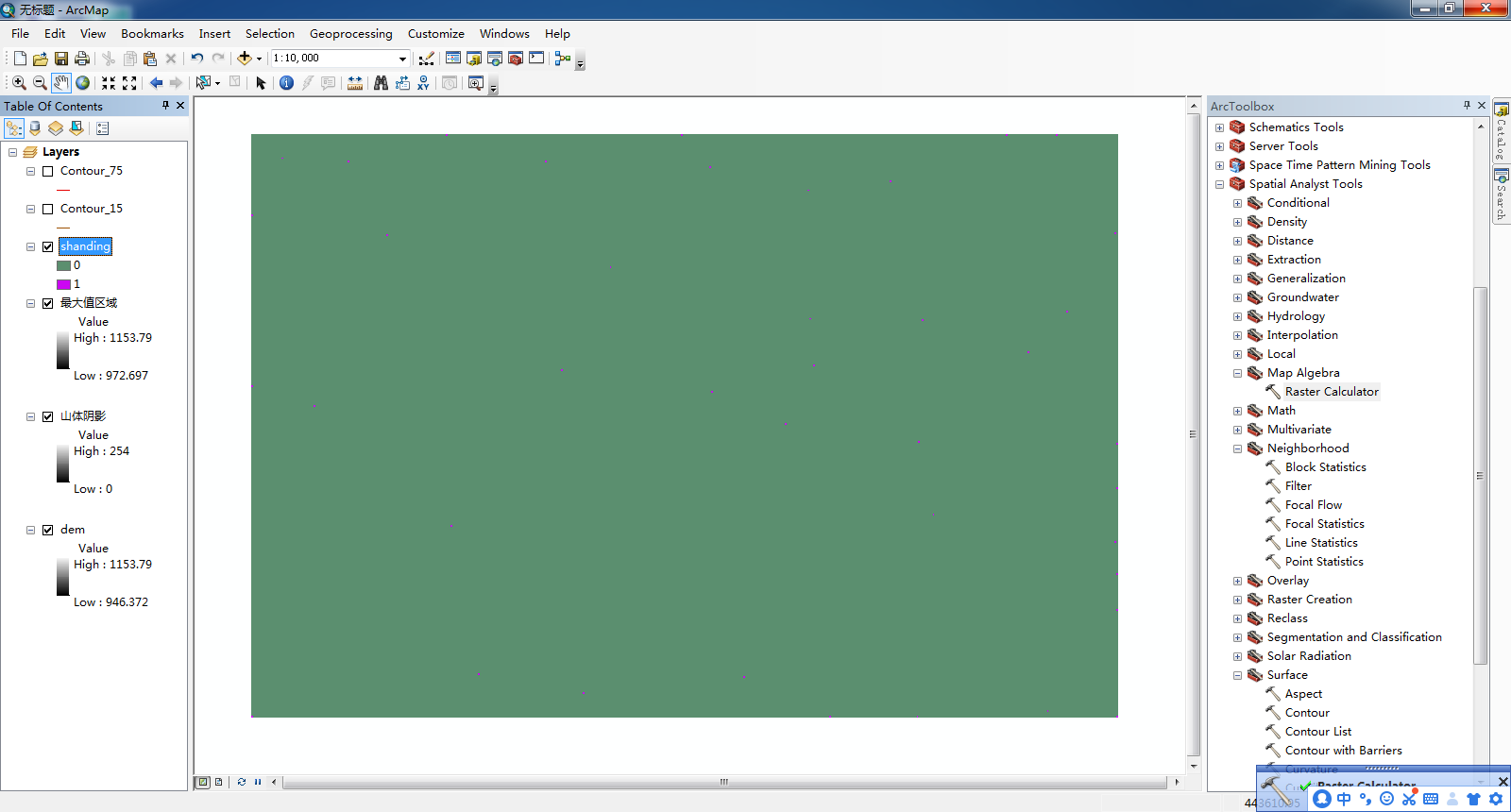
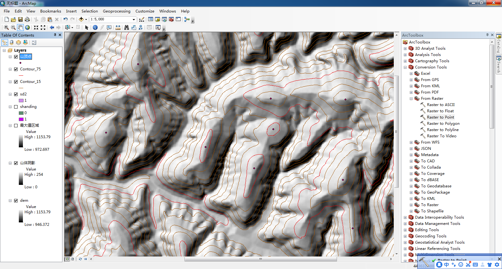
使用Arc Toolbox中的“ Raster to point ”工具
(>Input raster中导入“ sd2 ”>>Output point features中选择自己的文件夹导出并命名为“山顶点”>>点击“OK”)
更改山顶点的形状


 5385
5385

 被折叠的 条评论
为什么被折叠?
被折叠的 条评论
为什么被折叠?
 到【灌水乐园】发言


