


今天尝试了segment-geospatial的Segmenting remote sensing imagery with box prompts和Segmenting remote sensing imagery with point prompts案例。prompts我理解就是提示信息,可以是点、面和文本提示信息等等,告诉重点关注某些位置,有点像注意力集中机制。具体项目地址如下:
Sam2 box prompts - segment-geospatial![]() https://samgeo.gishub.org/examples/sam2_box_prompts/
https://samgeo.gishub.org/examples/sam2_box_prompts/
Sam2 point prompts - segment-geospatial![]() https://samgeo.gishub.org/examples/sam2_point_prompts/第一个案例,用box prompts顺利跑出结果,代码如下:
https://samgeo.gishub.org/examples/sam2_point_prompts/第一个案例,用box prompts顺利跑出结果,代码如下:
import leafmap
from samgeo import SamGeo2, regularize
#
m = leafmap.Map(center=[47.653287, -117.588070], zoom=16, height="800px")
m.add_basemap("Satellite")
m
#
if m.user_roi is not None:
    bbox = m.user_roi_bounds()
else:
    bbox = [-117.6029, 47.65, -117.5936, 47.6563]
#
image = "satellite.tif"
leafmap.map_tiles_to_geotiff(
    output=image, bbox=bbox, zoom=18, source="Satellite", overwrite=True
)
#
m.layers[-1].visible = False
m.add_raster(image, layer_name="Image")
m
#
sam = SamGeo2(
    model_id="sam2-hiera-large",
    automatic=False,
)
#
sam.set_image(image)
#
if m.user_rois is not None:
    boxes = m.user_rois
else:
    boxes = [
        [-117.5995, 47.6518, -117.5988, 47.652],
        [-117.5987, 47.6518, -117.5979, 47.652],
    ]
#
sam.predict(boxes=boxes, point_crs="EPSG:4326", output="mask.tif", dtype="uint8")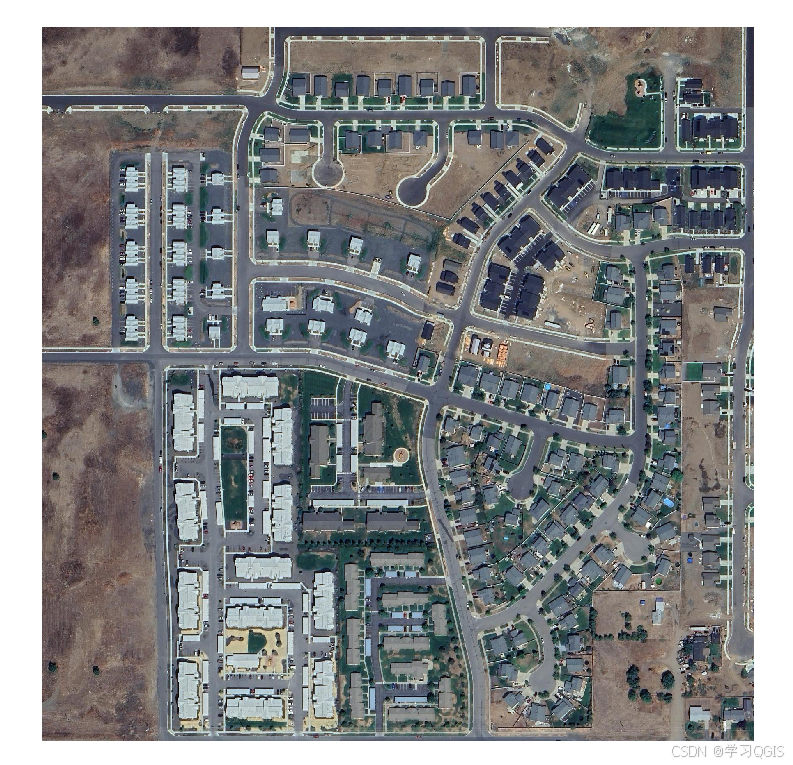
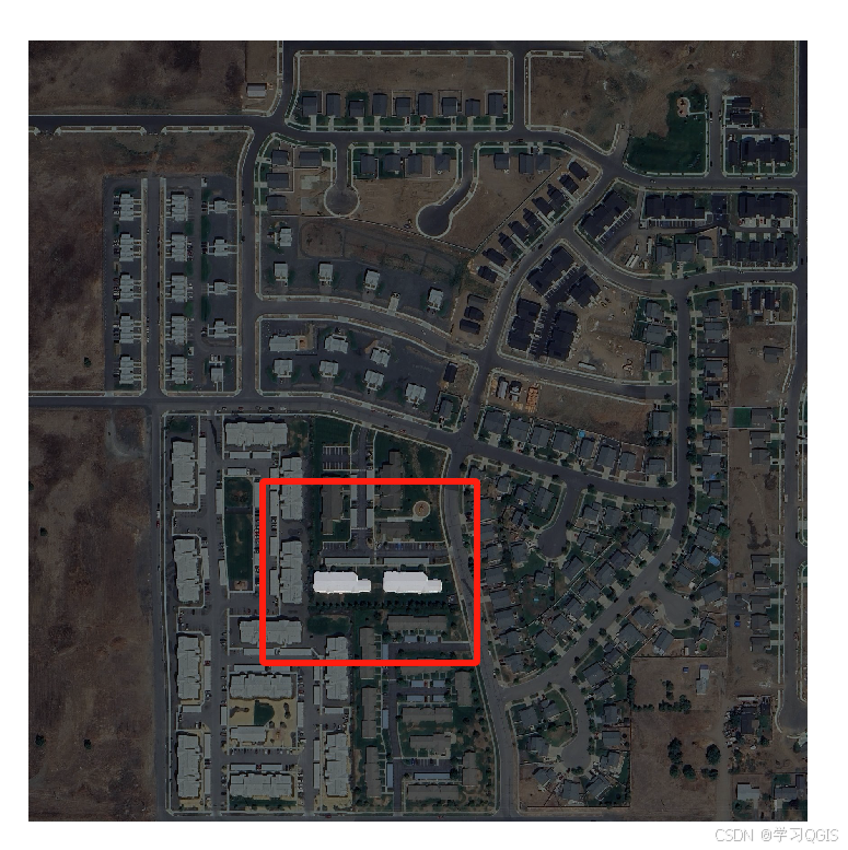
(图中红框是截图时加大,程序输出的一个Tiff图层,两个白色图块是SAM模型识别的)
第二个案例,用point prompts,没有顺利跑出结果,代码如下:
import leafmap
from samgeo import SamGeo2, regularize
#
m = leafmap.Map(center=[47.653287, -117.588070], zoom=16, height="800px")
m.add_basemap("Satellite")
m
#
if m.user_roi is not None:
    bbox = m.user_roi_bounds()
else:
    bbox = [-117.6029, 47.65, -117.5936, 47.6563]
#
image = "satellite.tif"
leafmap.map_tiles_to_geotiff(
    output=image, bbox=bbox, zoom=18, source="Satellite", overwrite=True
)
#
m.layers[-1].visible = False
m.add_raster(image, layer_name="Image")
m
#
sam = SamGeo2(
    model_id="sam2-hiera-large",
    automatic=False,
)
#
sam.set_image(image)
#
if m.user_rois is not None:
    point_coords_batch = m.user_rois
else:
    point_coords_batch = [
        [-117.599896, 47.655345],
        [-117.59992, 47.655167],
        [-117.599928, 47.654974],
        [-117.599518, 47.655337],
    ]
#
sam.predict_by_points(
    point_coords_batch=point_coords_batch,
    point_crs="EPSG:4326",
    output="mask.tif",
    dtype="uint8",
)
报错
 0.00s - Debugger warning: It seems that frozen modules are being used, which may
0.00s - make the debugger miss breakpoints. Please pass -Xfrozen_modules=off
0.00s - to python to disable frozen modules.
0.00s - Note: Debugging will proceed. Set PYDEVD_DISABLE_FILE_VALIDATION=1 to disable this validation.
查了半天也没有调好,后续在查查看看能不能调好。


 1万+
1万+

 被折叠的 条评论
为什么被折叠?
被折叠的 条评论
为什么被折叠?
 到【灌水乐园】发言


