


官网demo地址:
先初始化地图,准备一个空的矢量图层,用于显示绘制的图形。
initLayers() {
const raster = new TileLayer({
source: new XYZ({
url: "https://server.arcgisonline.com/ArcGIS/rest/services/World_Imagery/MapServer/tile/{z}/{y}/{x}",
}),
});
const source = new VectorSource({ wrapX: false });
this.vectorlayer = new VectorLayer({
source: source,
});
this.map = new Map({
layers: [raster, this.vectorlayer],
target: "map",
view: new View({
center: [-11000000, 4600000],
zoom: 4,
}),
});
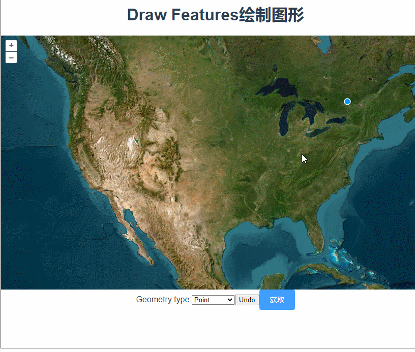
}, 想要在地图上绘制图形,需要用到一个交互类Draw,new Draw,设置绘制的图形类型。常见类型包括 'Point', 'LineString', 'Polygon', 'Circle', 'MultiPoint', 'MultiLineString', 'MultiPolygon'。
addDrawInteraction() {
      this.draw = new Draw({
        source: this.vectorlayer.getSource(),
        type: this.type,
      });
      this.map.addInteraction(this.draw);
    },
Draw还有些常用参数
-
clickTolerance:- 类型:
number - 描述: 指定绘制时允许的点击距离容差(以像素为单位)。这是为了允许用户在移动鼠标时具有一定的容差,以便更容易地点击绘制。
- 默认值:
6
- 类型:
-
features:- 类型:
ol.Collection<ol.Feature> - 描述: 一个
Collection实例,用于存储绘制的特征。如果指定了此属性,绘制的特征将添加到该集合中。
- 类型:
-
source
 最低0.47元/天 解锁文章


 803
803

 被折叠的 条评论
为什么被折叠?
被折叠的 条评论
为什么被折叠?
 到【灌水乐园】发言


