


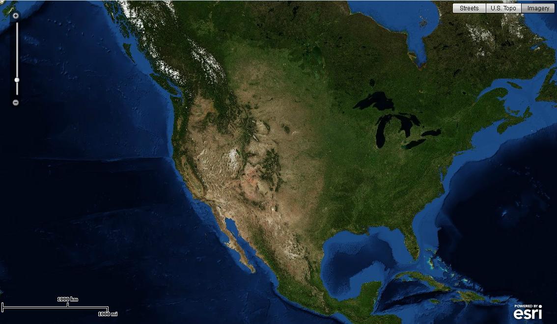
 本文展示了一个允许用户在不同底图之间切换的示例,并确保根据所选底图更新细节层级(LOD)。如果所有底图都具有相同的LOD,则不需要使用layerShowHandler函数。
http://help.arcgis.com/en/webapi/flex/samples/index.html
<Mapping>---->Switching Basemaps
<?
xml version="1.0" encoding="utf-8"
?>
< s:Application xmlns:fx ="http://ns.adobe.com/mxml/2009"
xmlns:s ="library://ns.adobe.com/flex/spark"
xmlns:esri ="http://www.esri.com/2008/ags"
pageTitle ="Toggle between Map Services" >
<!--
This sample shows one way of allowing users to change between different basemaps.
It also ensures that the levels of detail (LOD) are updated based on which basemap is selected.
If all base maps have the same LODs, you wouldn't need the layerShowHandler function.
-->
< fx:Script >
<![CDATA[
import com.esri.ags.geometry.MapPoint;
import com.esri.ags.layers.TiledMapServiceLayer;
import mx.events.FlexEvent;
private function layerShowHandler(event:FlexEvent):void
{
// update the LODs/zoomslider to use/show the levels for the selected base map
var tiledLayer:TiledMapServiceLayer = event.target as TiledMapServiceLayer;
myMap.lods = tiledLayer.tileInfo.lods;
}
]]>
</ fx:Script >
< esri:Map id ="myMap"
level ="4"
load ="myMap.centerAt(new MapPoint(-11713000, 4822000))" >
< esri:ArcGISTiledMapServiceLayer show ="layerShowHandler(event)"
url ="http://server.arcgisonline.com/ArcGIS/rest/services/World_Street_Map/MapServer"
visible ="{bb.selectedIndex == 0}" />
< esri:ArcGISTiledMapServiceLayer show ="layerShowHandler(event)"
url ="http://server.arcgisonline.com/ArcGIS/rest/services/USA_Topo_Maps/MapServer"
visible ="{bb.selectedIndex == 1}" />
< esri:ArcGISTiledMapServiceLayer show ="layerShowHandler(event)"
url ="http://server.arcgisonline.com/ArcGIS/rest/services/World_Imagery/MapServer"
visible ="{bb.selectedIndex == 2}" />
</ esri:Map >
< s:ButtonBar id ="bb"
right ="5" top ="5"
requireSelection ="true" >
< s:dataProvider >
< s:ArrayList >
< fx:String > Streets </ fx:String >
< fx:String > U.S. Topo </ fx:String >
< fx:String > Imagery </ fx:String >
</ s:ArrayList >
</ s:dataProvider >
</ s:ButtonBar >
</ s:Application >
显示:


 被折叠的 条评论
为什么被折叠?
被折叠的 条评论
为什么被折叠?
 到【灌水乐园】发言


